Cleburne State Park Trails
Trails: Coyote Run Nature Trail (red), Limestone Ridge Trail (light green), White-tail Hollow Trail (pink)
Last hiked November, 6, 2021
Trail Type: Hike and Bike
Distance We Hiked: 6.52 miles
Amount of Time it Took Us: 2 hr. 41 m.
Our Elevation Gain: 884 ft.
Park Rating: moderate/challenging/easy
Mike & Elaine’s Rating: moderate/challenging/easy
Our Notes:
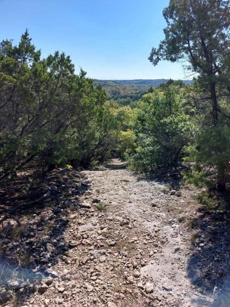
We began this trail at the Coyote Run Day-use Area. There is a parking area there at the trailhead. There are no bathroom facilities here, so make sure you use the facilities at Poplar Point Camp Loop before heading to the trail. All three of these trails are out-and-back, so plan for a long and strenuous hike if you do all three.
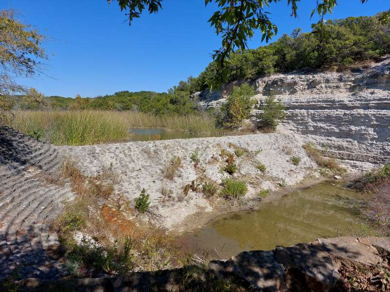
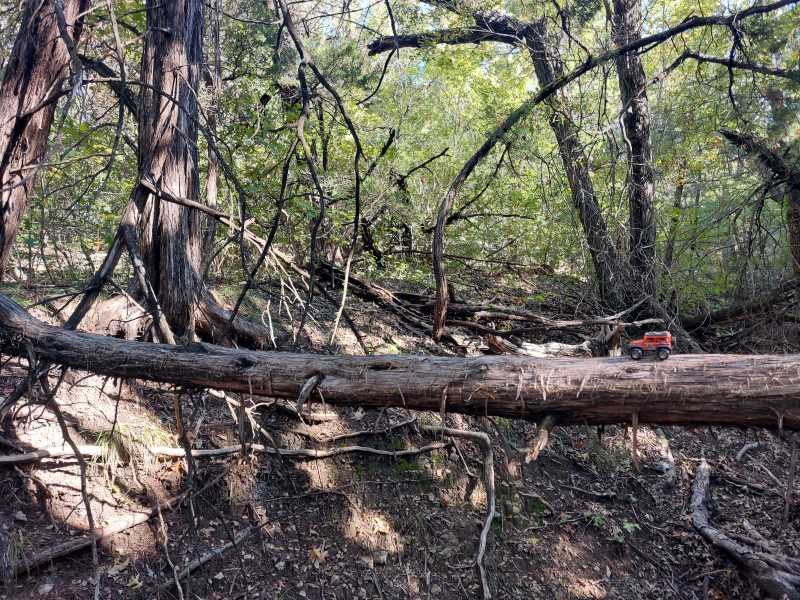
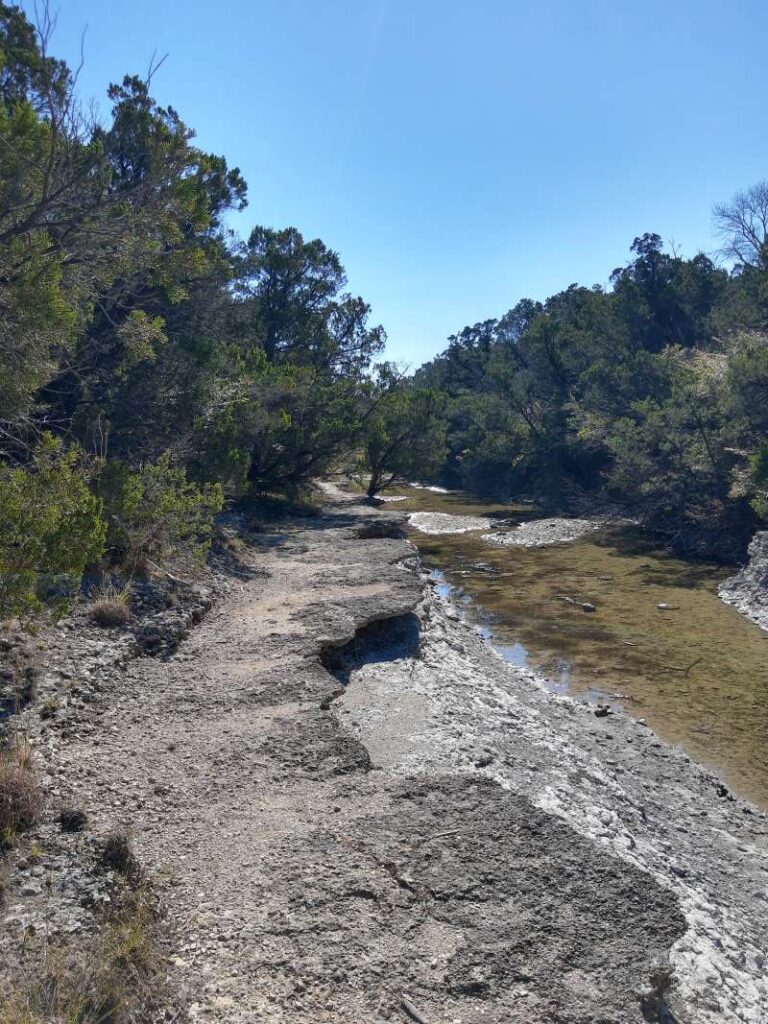
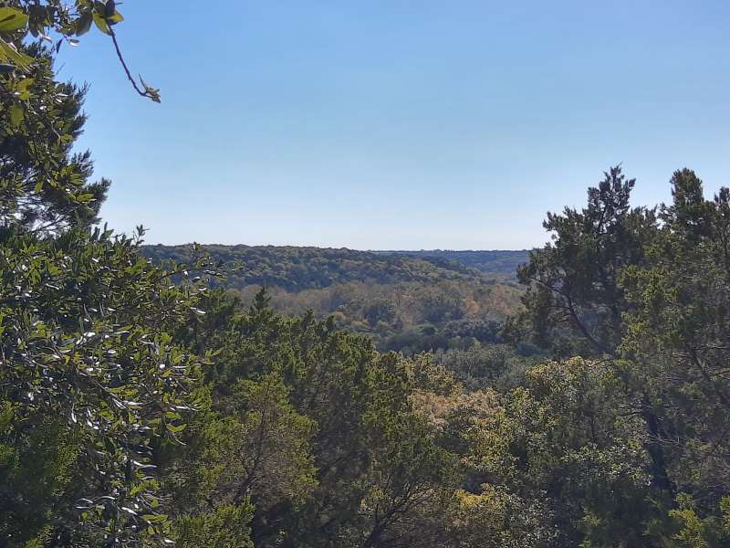
The Coyote Run portion of the trail runs along the park border but also has great views of the lake. There are several hilltop overlooks and the water itself is beautiful and clear. There are some great spots here to sit and have a snack or picnic lunch. The entire park is nestled on limestone hills and bluffs, and if you look carefully you’ll see lots of fossil remains on the trails. This section of the trail is about a mile long and once you reach the end of this section, you have the choice to continue on to the Limestone Ridge Trail. This portion of the trail has a lot of elevation change and can be challenging. It is also not very well marked and we had to ask directions a few times to make sure we were heading the right way. Be sure you have a trail map and a compass or GPS on your phone to help guide you. This section is about 1.7 miles, but if you want to add more mileage you have the choice of hiking the Inner Loop Trail as well – we did not as we wanted to head a different direction toward the spillway. Once we completed this part of the trail we stopped for lunch at a small river area that had very little water in it, but was beautiful just the same because of the limestone ledges to sit on. We happened to be there when there were hundreds of dragonflies darting around and mating with each other. It was fascinating! After our lunch, we connected to the White-tail Hollow Trail and headed for the spillway. This portion was easier to follow and it did not disappoint when we reached the top of the spillway and had views of the lake over the dam. It was gorgeous! After that we finished out this trail and connected to the Spillway Trail for a bit, which took us back to the Coyote Run Nature Trail and back to the trailhead.
Overall this was an amazing hiking experience and certainly one of the more challenging ones we’ve done. The park rates it as moderate/challenging/easy, and we agree. Keep your eyes open for large rocks and boulders, as it is easy to lose footing and the limestone can be slippery. There is quite a bit of elevation on these trails so you will get a good workout!
Trails: Fossil Ridge Trail (navy), Camp Creek Loop (purple)
Last hiked November 7, 2021
Trail Type: Hiking
Distance We Hiked: 6.31 miles
Amount of Time it Took Us: 2 hr. 37 m.
Our Elevation Gain: 905 ft.
Park Rating: challenging
Mike & Elaine’s Rating: challenging
Our Notes:
We began this trail at the Coyote Run Day-use Area. There is a parking area there at the trailhead. There are no bathroom facilities here, so make sure you use the facilities at Poplar Point Camp Loop before heading to the trail. This is an out-and-back trail with a lot of elevation change, so plan for a strenuous hike. There is a bathroom facility at the end of the Camp Creek Loop area, which is about halfway through this hike.
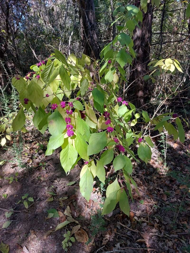
The Fossil Ridge Trail skirts the border of the park on the west side of the lake. This is a 2.5 mile trail one way, and it will take a lot out of you. The trail is well-marked and beautiful with steeply rising hills in places and sharply descending valleys as well. The limestone is everywhere, as well as fossils embedded in it. It is fun to see how many you can spot! The trail is surrounded by beautiful mountain cedar trees (juniper) and maples, many of which were boasting beautiful red leaves at this time. The only wildlife we managed to see were squirrels. At the end of this trail we continued on to the Camp Creek Loop which was about 1.1 miles and circled back to Fossil Ridge. But before reconnecting there, we pulled off the trail for a bathroom break and to admire the beautiful and historic Camp Creek Bridge. This is a great picture-taking spot!
The park rates this trail as challenging, and we agree. There is more elevation change on this trail than on the other side of the park, and you have to be careful on the inclines as small rocks can make it tricky, and the bigger rocks and boulder outcroppings can be slippery. Make sure you have hiking shoes with good grip on them and drink a lot of water because you will sweat on this one! It is definitely worth the effort though!
A Few Links Below:
https://tpwd.texas.gov/state-parks/cleburne
https://tpwd.texas.gov/publications/pwdpubs/media/park_maps/pwd_mp_p4503_0013j.pdf
https://www.alltrails.com/parks/us/texas/cleburne-state-park